| Drought in the West | A Photographic Essay |
Reno/Truckee Meadows
|
Next → |
Interactive Cartograph: Clickable place names, horizontally scrollable.
| Bucks Lake ↓ | ↓ Whites, Thomas Creeks & Alexander Lake | |||||||||
| Webber Lake | Cold Stream/Sierraville Creek → Sierra Valley (Alfalfa) → Feather River (North Fork) → Lake Oroville | Brown, Davis & Franktown Creeks | ||||||||
| ↘ | ↗ | ↓ | ||||||||
|
Little Truckee River
Little Truckee River |
Steamboat Creek ← Washoe Lake ← Ophir Creek | ← | Tahoe Meadows | |||||||
| Independence Lake → Independence Creek | ↗ | ↘ |
|
↙ | ↖ | Rock Lake ← (Upper) Price Lake | ||||
| Stampede Reservoir → Little Truckee River 3 → Boca Reservoir → Little Truckee River 4 → Truckee River | ← | Donner Creek ← Donner Lake | ||||||||
| ↖ | ||||||||||
| Prosser Creek ← Prosser Dam | ||||||||||
Whites & Thomas Creeks and Alexander Lake: 3.2015
Whites and Thomas creeks conflude in isolated Alexander Lake nestled in the foot of the Huffakers. A natural lake, it's name and outline can be found on early maps of the area.
Tucked behind the Huffakers (not to be confused with the recent reservoir created for the Double Diamond Ranch Master Association's effluent treatment plant higher in the hills), Alexander Lake is often called Hidden Lake by locals who remember the South Meadows as "One giant swamp" before the congestion of housing developments began in the late 1990s.
Alexander Lake after a spring rain
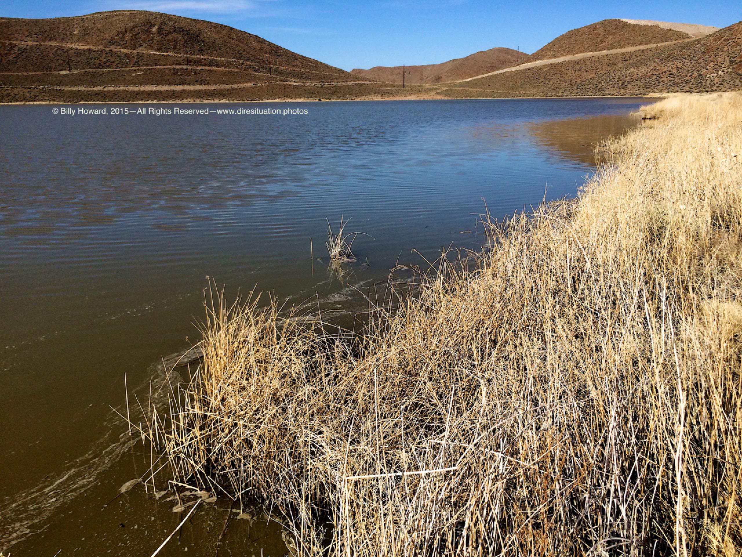
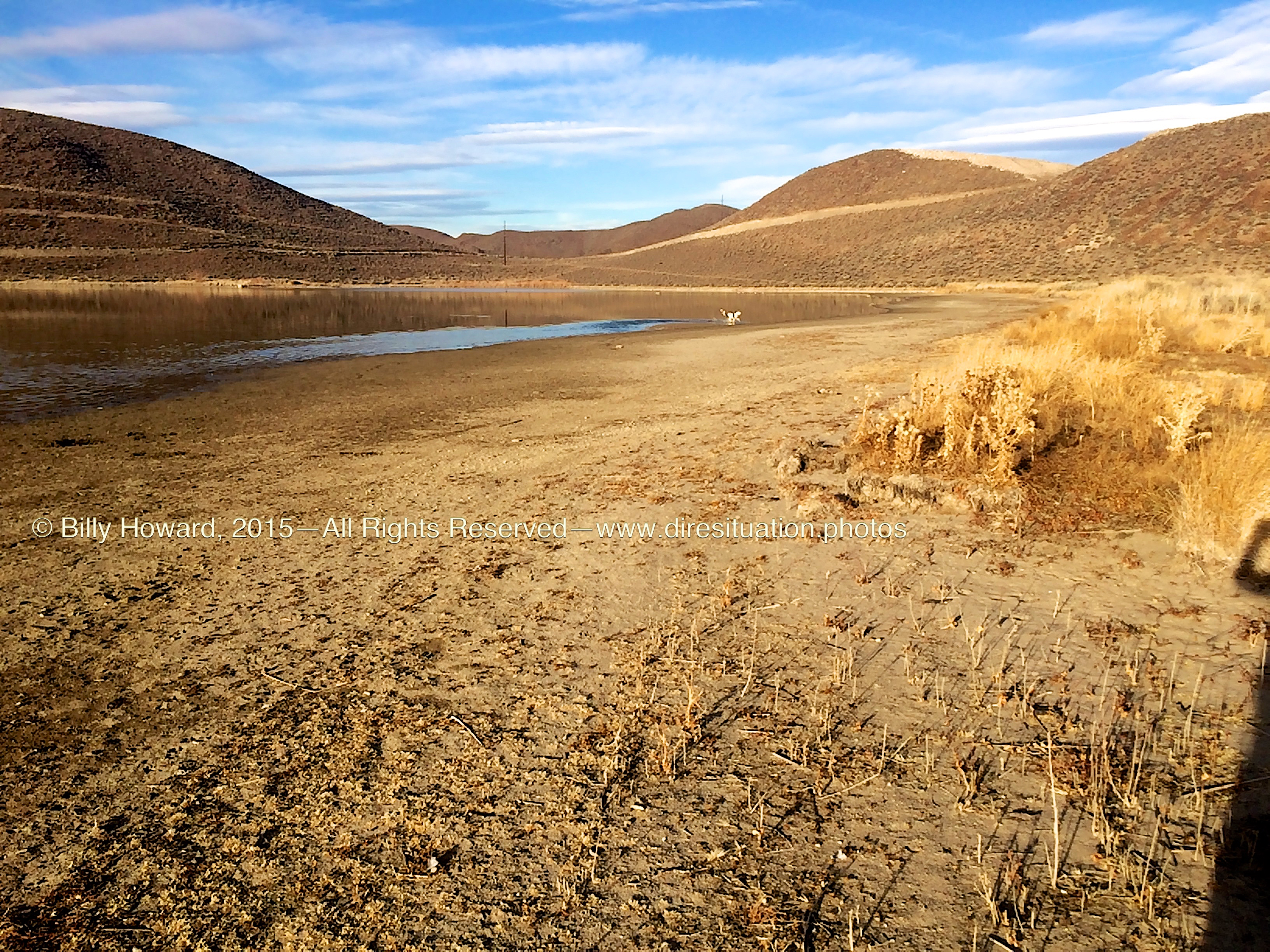
The same perspective in February, 2015.
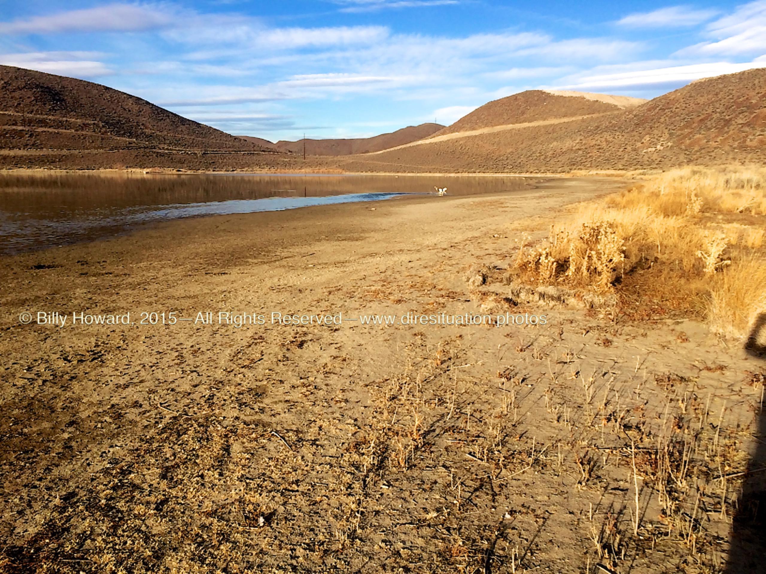
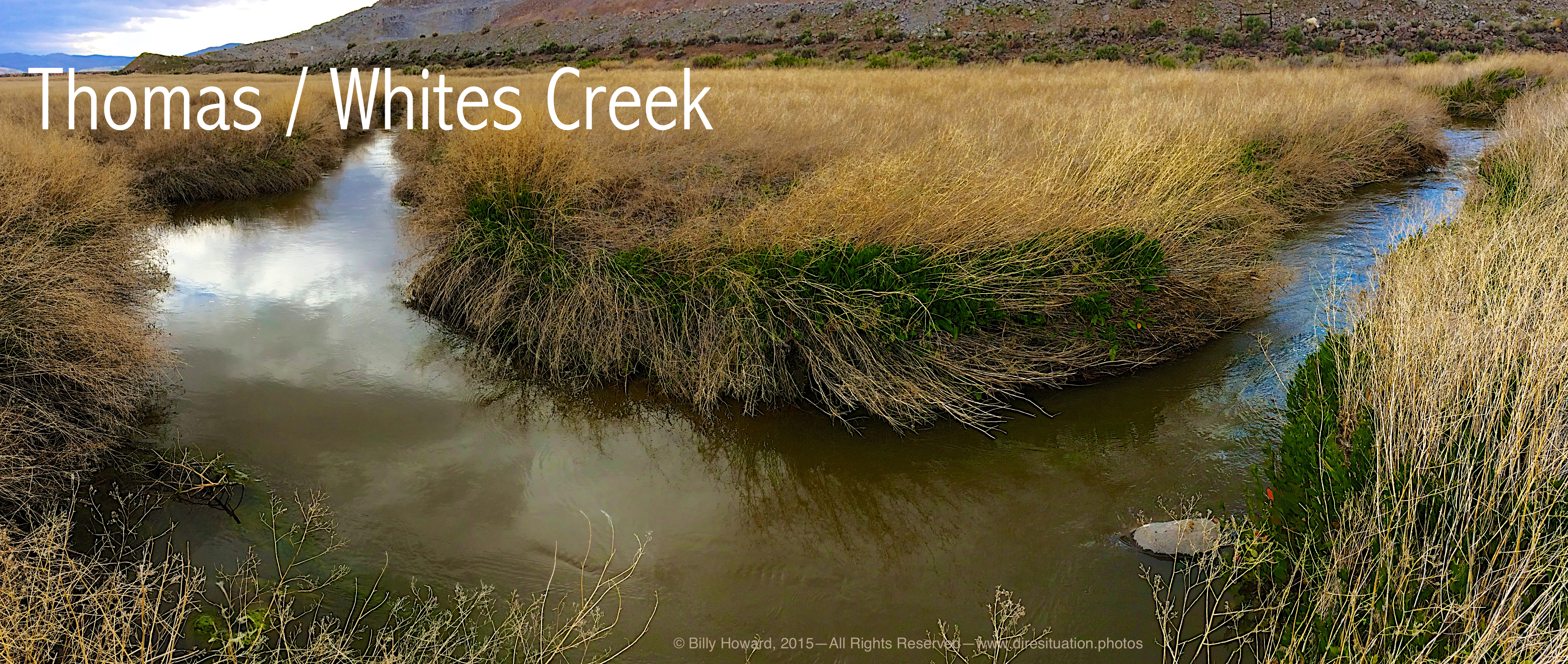
Waterways flow out of Alexander Lake and the nearby levy to form this channel at the base of the Huffakers Hills which flows into nearby Steamboat Creek at "the gap" or "narrows" between the Virginia Mountains and the Huffaker Hills at Alexander Lake Road.
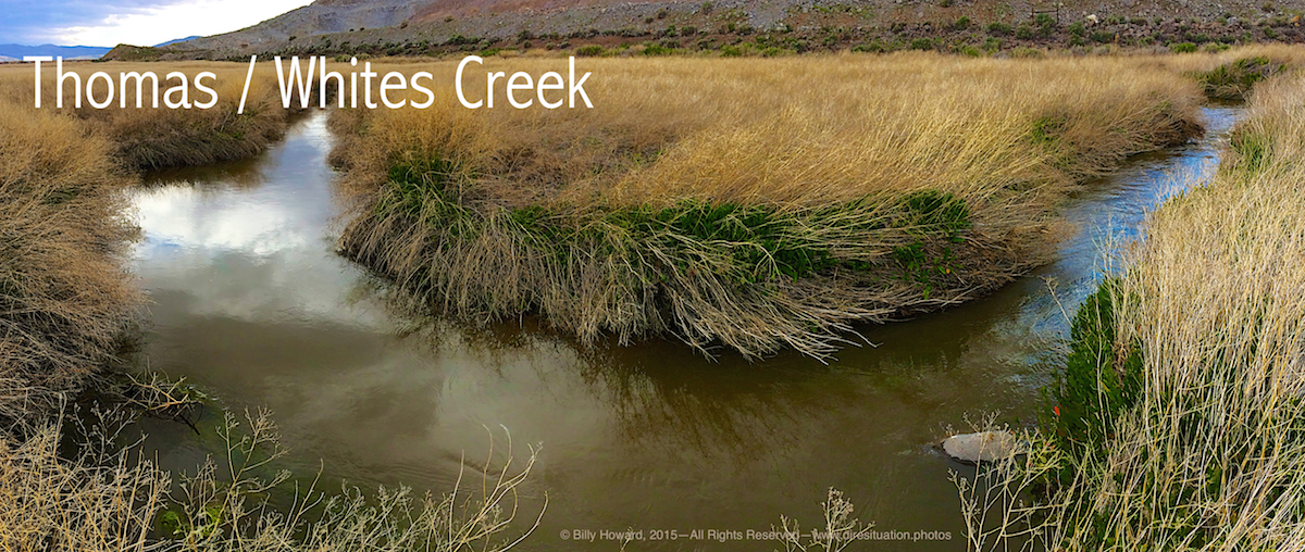
Whites and Thomas creeks conflude in isolated Alexander Lake nestled in the foot of the Huffakers. A natural lake, it's name and outline can be found on early maps of the area.
Tucked behind the Huffakers (not to be confused with the recent reservoir created for the Double Diamond Ranch Master Association's effluent treatment plant higher in the hills), Alexander Lake is often called Hidden Lake by locals who remember the South Meadows as "One giant swamp" before the congestion of housing developments began in the late 1990s.
Alexander Lake after a spring rain
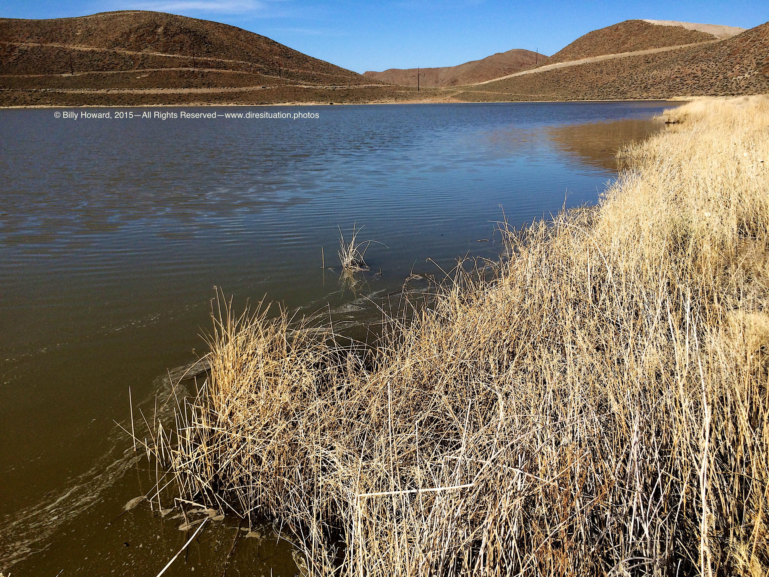
All content, including images © Billy Howard, 2015. —All Rights Reserved— High resolution versions available upon request to witness@diresituation.photos. Larger.
The same perspective in February, 2015.
Waterways flow out of Alexander Lake and the nearby levy to form this channel at the base of the Huffakers Hills which flows into nearby Steamboat Creek at "the gap" or "narrows" between the Virginia Mountains and the Huffaker Hills at Alexander Lake Road.
All content, including images © Billy Howard, 2015. —All Rights Reserved— High resolution versions available upon request to witness@diresituation.photos. Larger.