| Drought in the West | A Photographic Essay |
Reno/Truckee Meadows
|
Next → |
Interactive Cartograph: Clickable place names, horizontally scrollable.
Webber Lake: 3.2015
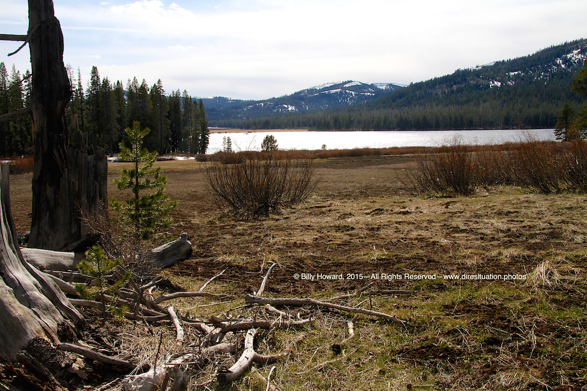
The Little Truckee River flows out of its Webber Lake headwaters (formerly private, now owned by Truckee Donner Land Trust, open to public in 2017) on its way to Stampede and Boca reservoirs.
The Federal Water Master has the discretion of diverting water from the Little Truckee River just east of Webber Lake to the Cold Stream diversion slough to Sierra Valley alfalfa farmers. During the three observations I made the water was being diverted.
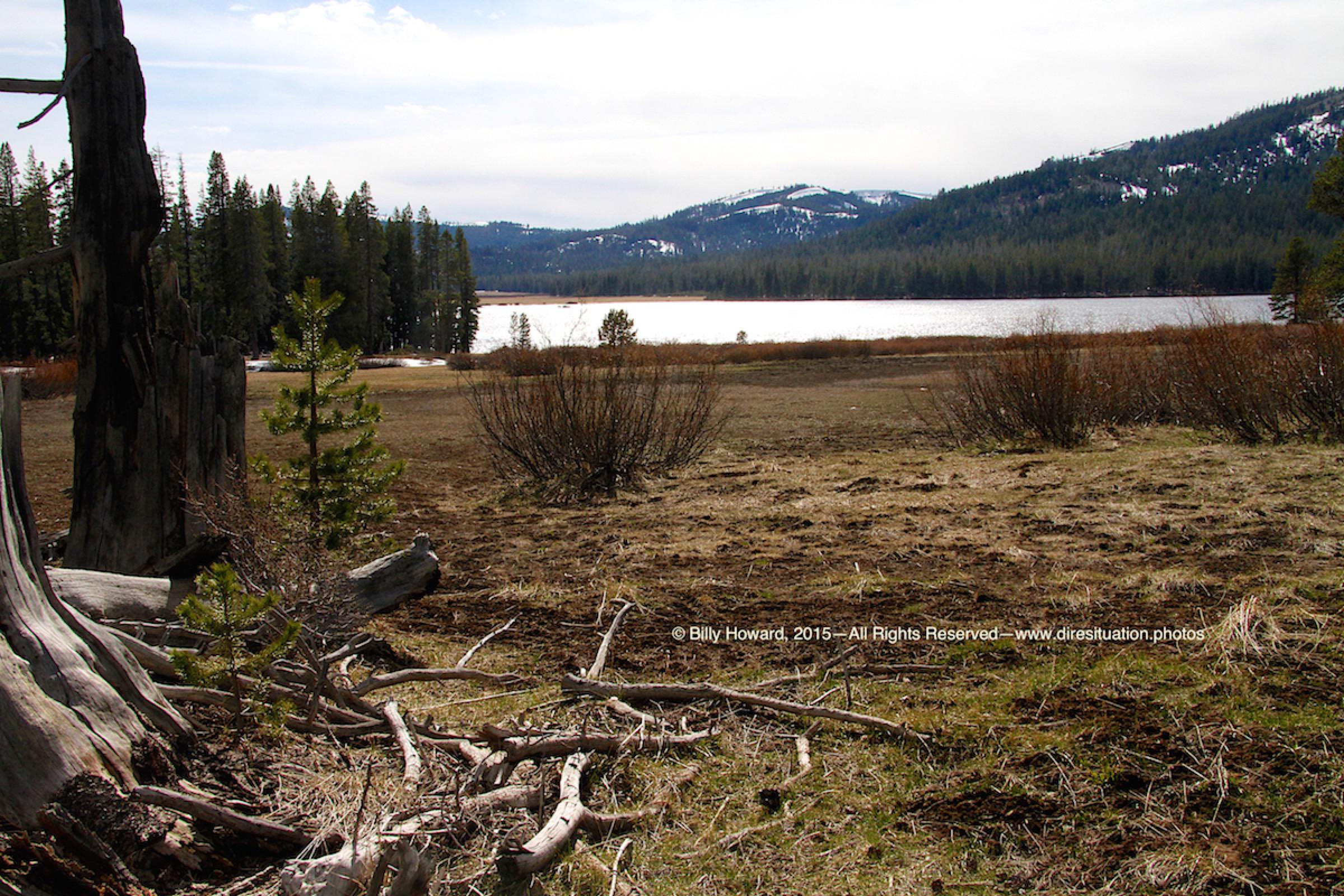

The Little Truckee River flows out of its Webber Lake headwaters (formerly private, now owned by Truckee Donner Land Trust, open to public in 2017) on its way to Stampede and Boca reservoirs.
The Federal Water Master has the discretion of diverting water from the Little Truckee River just east of Webber Lake to the Cold Stream diversion slough to Sierra Valley alfalfa farmers. During the three observations I made the water was being diverted.
All content, including images © Billy Howard, 2015. —All Rights Reserved— High resolution versions available upon request to witness@diresituation.photos. Larger.
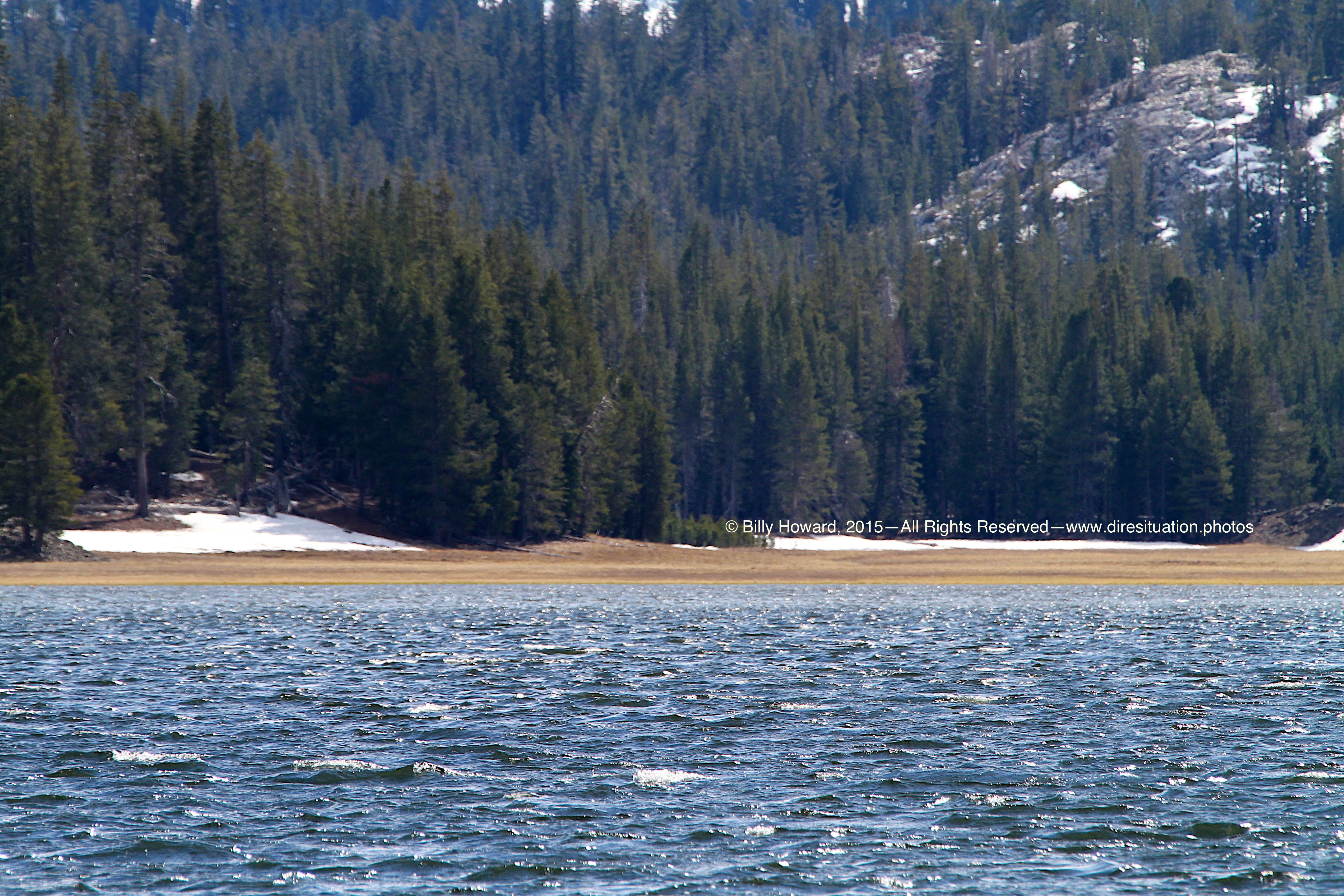
Webber Lake was at capacity at the time of these photos, 3.21.2015, but locals who have known the lake for over a dozen years didn't think the headwaters would continue to flow into the Little Truckee River creekbed for more than a month, considering the condition of the snowpack in the mountains above, including Webber Peak, which snowmelt flows down into Lacey Valley and Lacey Creek which feed into Webber Lake.
All content, including images © Billy Howard, 2015. —All Rights Reserved— High resolution versions available upon request to witness@diresituation.photos. Larger.
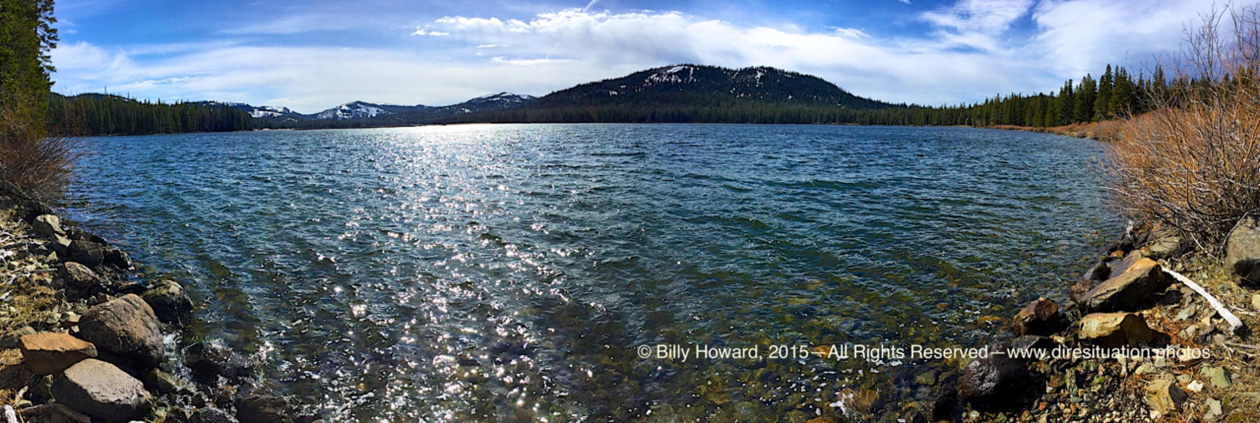
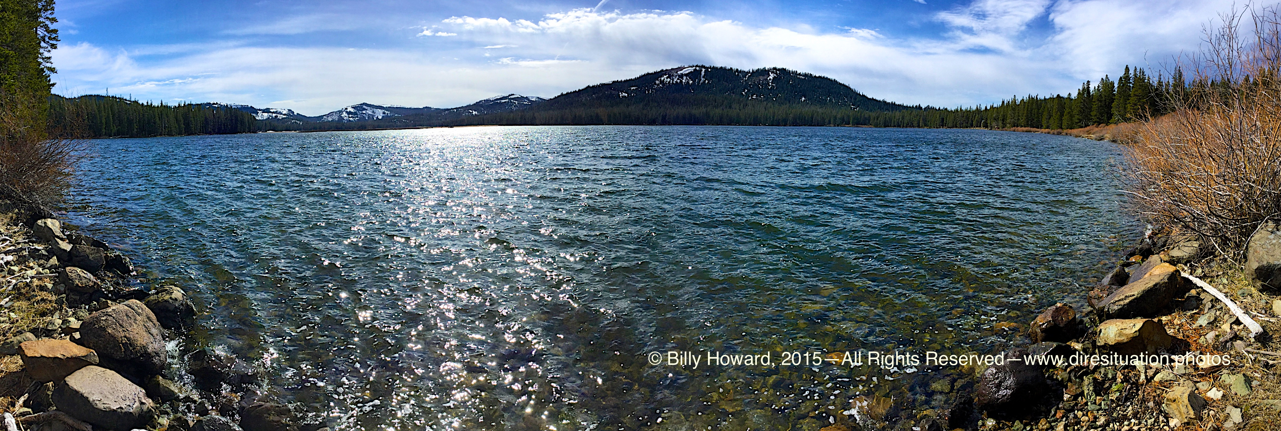
Shoreline visible at crest of Lake's fullness with little snow on the banks for continuous melt into the water on 3.22.15.
All content, including images © Billy Howard, 2015. —All Rights Reserved— High resolution versions available upon request to witness@diresituation.photos. Larger.
Webber Lake, 360° video. Normally these meadows ajacent the lake's shore should be under feet of snow. Scant snow on peaks not enough to keep lake surface level enough to spill into the Little Truckee River before it's divergence to Sierra Valley alfalfa farms via the Cold Stream channel, 3.22.2015.
All content, including images © Billy Howard, 2015. —All Rights Reserved— High resolution versions available upon request to witness@diresituation.photos.