| Drought in the West | A Photographic Essay |
Reno/Truckee Meadows
|
Next → |
Interactive Cartograph: Clickable place names, horizontally scrollable.
| Bucks Lake ↓ | ↓ Whites, Thomas Creeks & Alexander Lake | |||||||||
| Webber Lake | Cold Stream/Sierraville Creek → Sierra Valley (Alfalfa) → Feather River (North Fork) → Lake Oroville | Brown, Davis & Franktown Creeks | ||||||||
| ↘ | ↗ | ↓ | ||||||||
|
Little Truckee River
Little Truckee River |
Steamboat Creek ← Washoe Lake ← Ophir Creek | ← | Tahoe Meadows | |||||||
| Independence Lake → Independence Creek | ↗ | ↘ |
|
↙ | ↖ | Rock Lake ← (Upper) Price Lake | ||||
| Stampede Reservoir → Little Truckee River 3 → Boca Reservoir → Little Truckee River 4 → Truckee River | ← | Donner Creek ← Donner Lake | ||||||||
| ↖ | ||||||||||
| Prosser Creek ← Prosser Dam | ||||||||||
Feather River: 3.2015
The Feather River has a number of forks and branches, all emptying into Lake Oroville reservoir.
This page profiles the North fork's 125 mile meander across the state of California from Sierra Valley to Oroville. The Feather River's north fork has many small creek tributaries incuding two that have Bucks Lake as a source.
The Feather River has a number of forks and branches, all emptying into Lake Oroville reservoir.
This page profiles the North fork's 125 mile meander across the state of California from Sierra Valley to Oroville. The Feather River's north fork has many small creek tributaries incuding two that have Bucks Lake as a source.
All content, including images © Billy Howard, 2015. —All Rights Reserved— High resolution versions available upon request to witness@diresituation.photos. Larger.
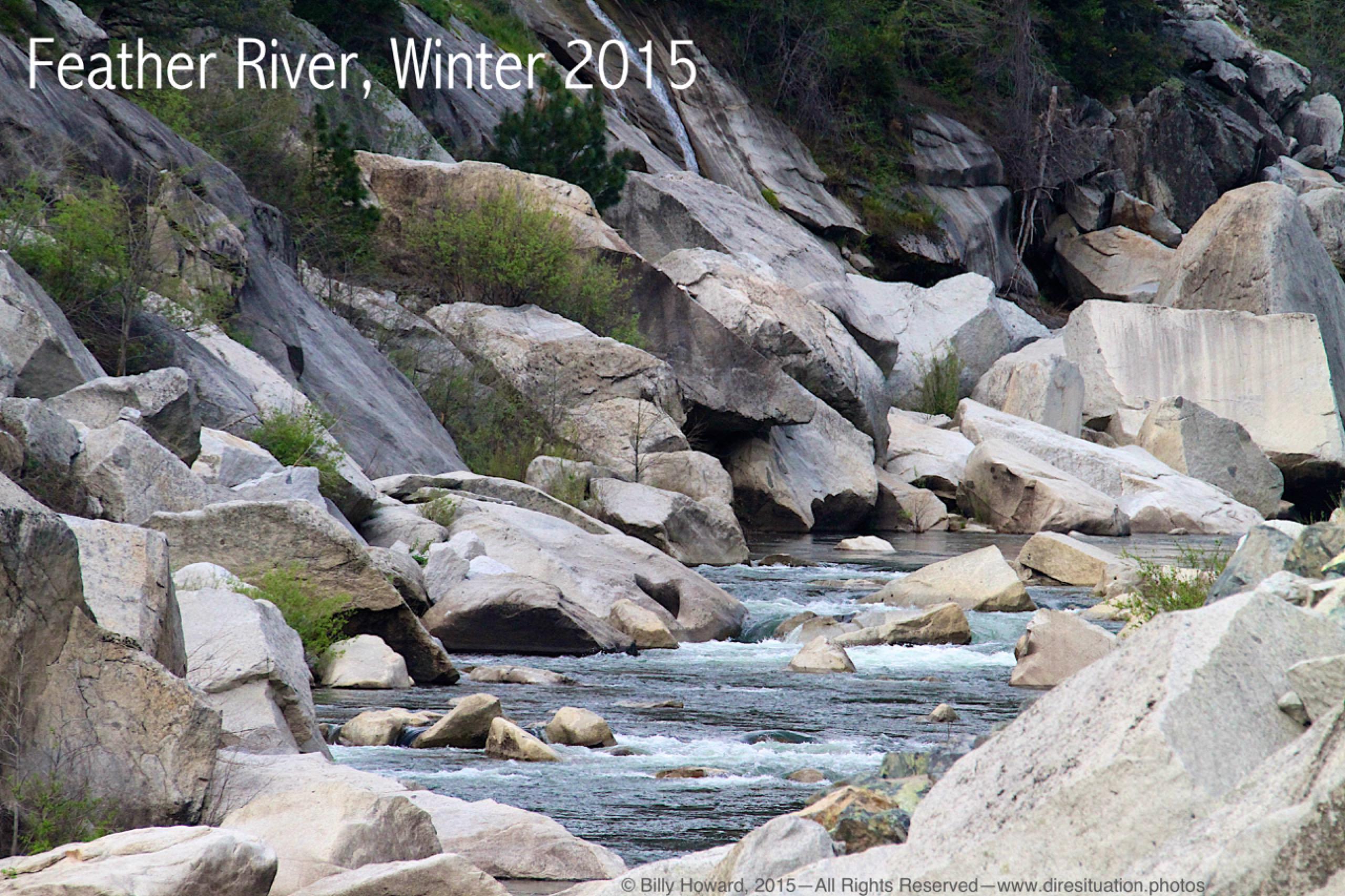
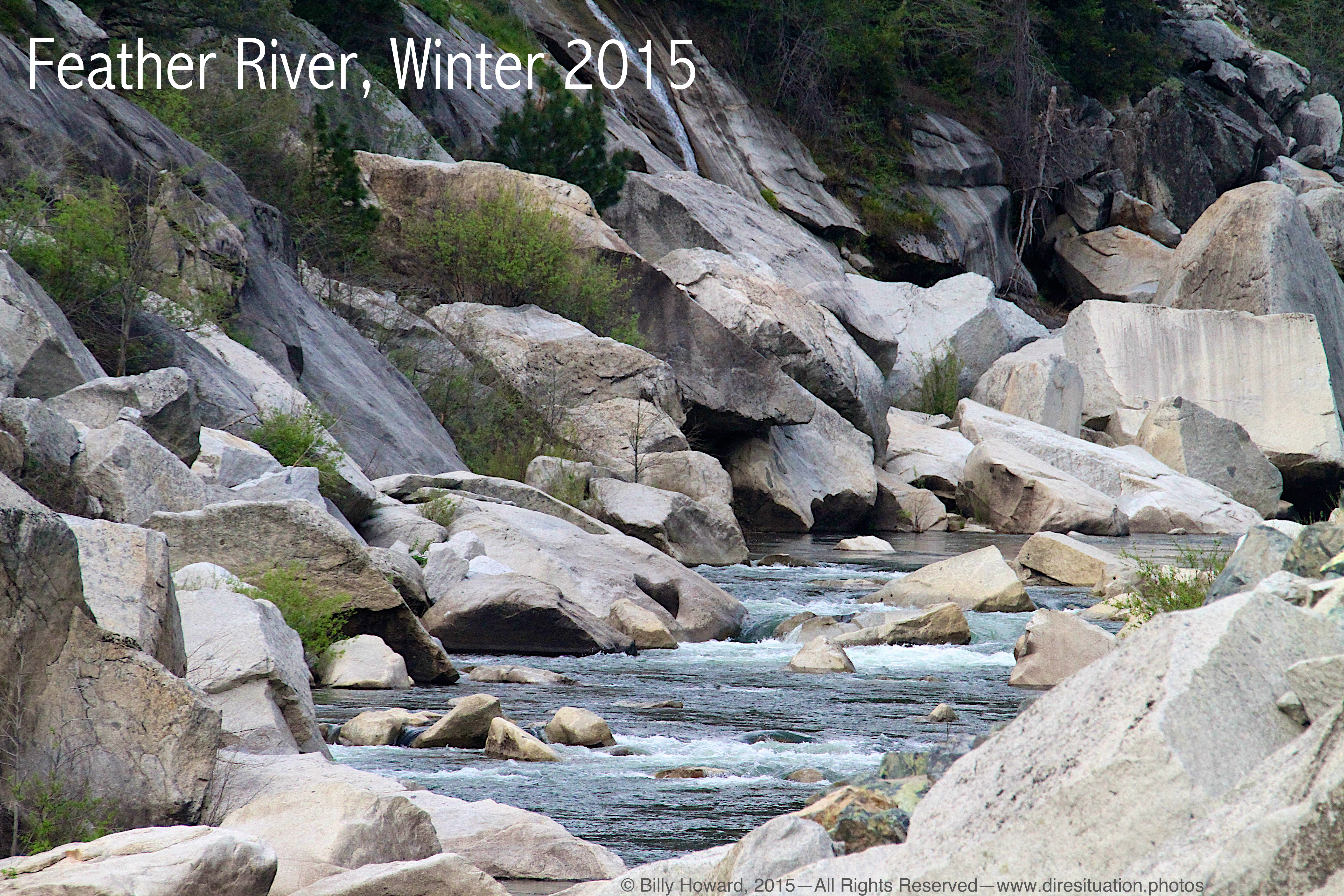
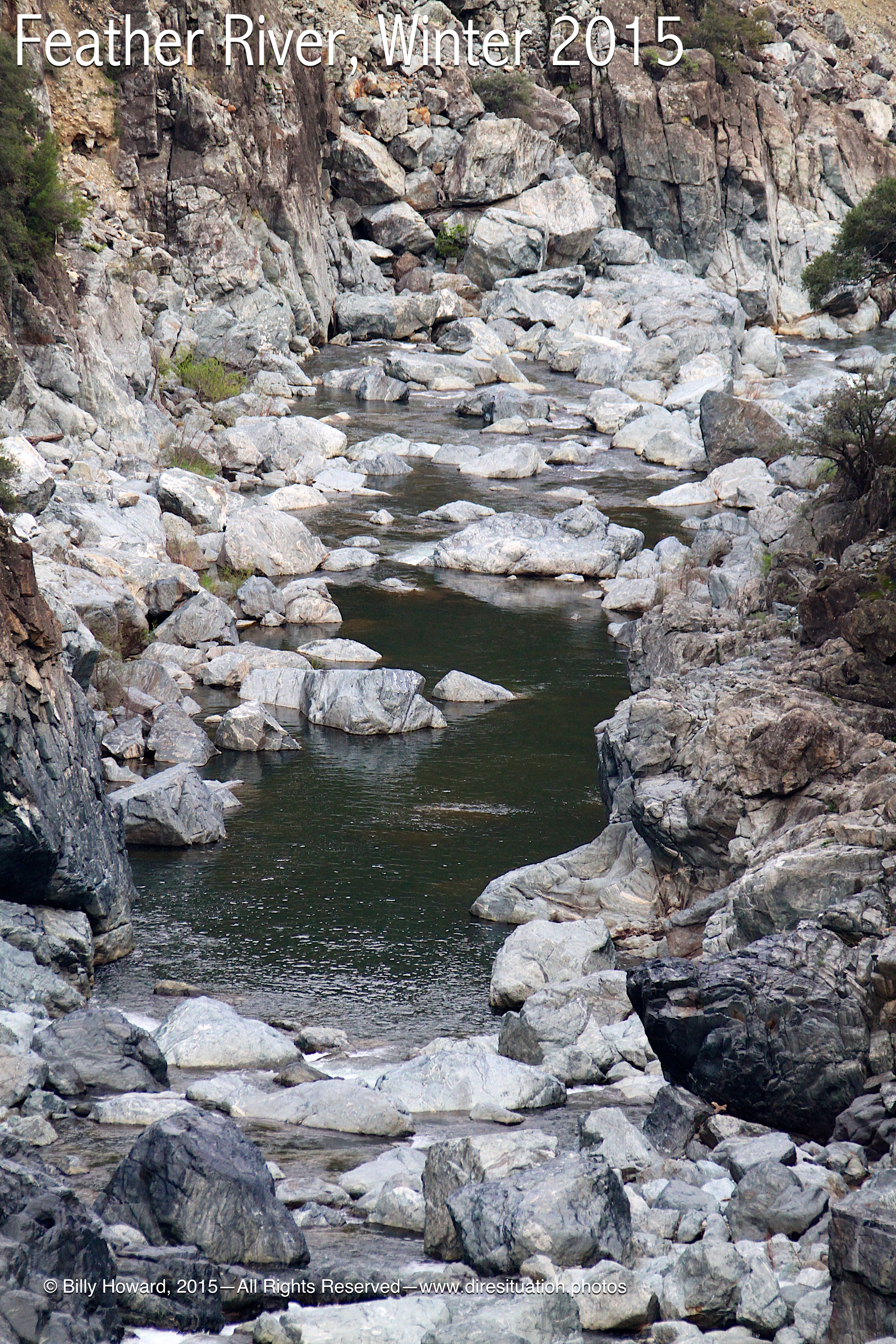
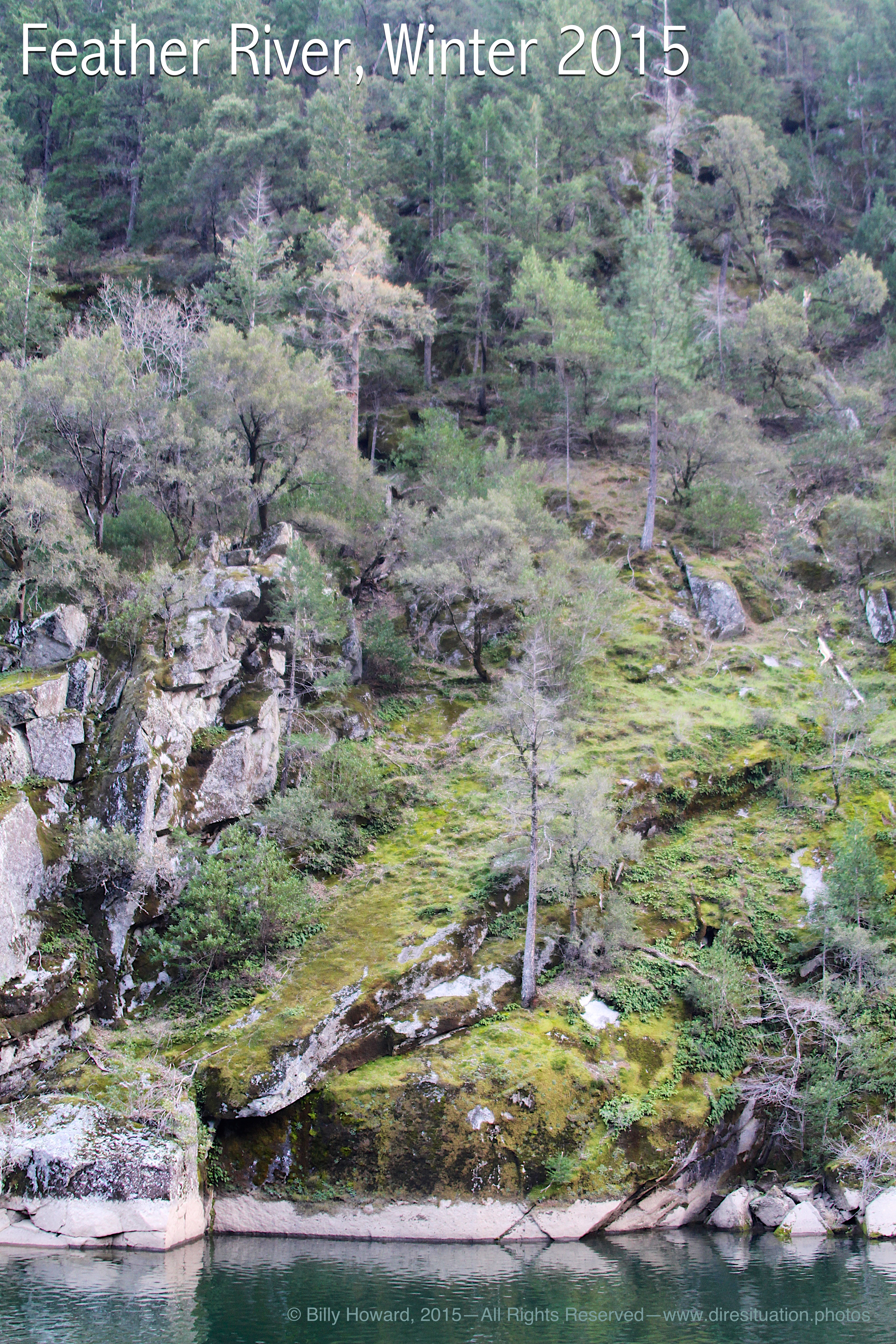
The Feather River's low level is told by the watermarks on boulders high above the current level. Normally the entire canyon is wet with precipitation and snowmelt which drains into the river all winter. The canyon wall shows bleached lime marks from previous and wetter years.
All content, including images © Billy Howard, 2015. —All Rights Reserved— High resolution versions available upon request to witness@diresituation.photos. Larger.
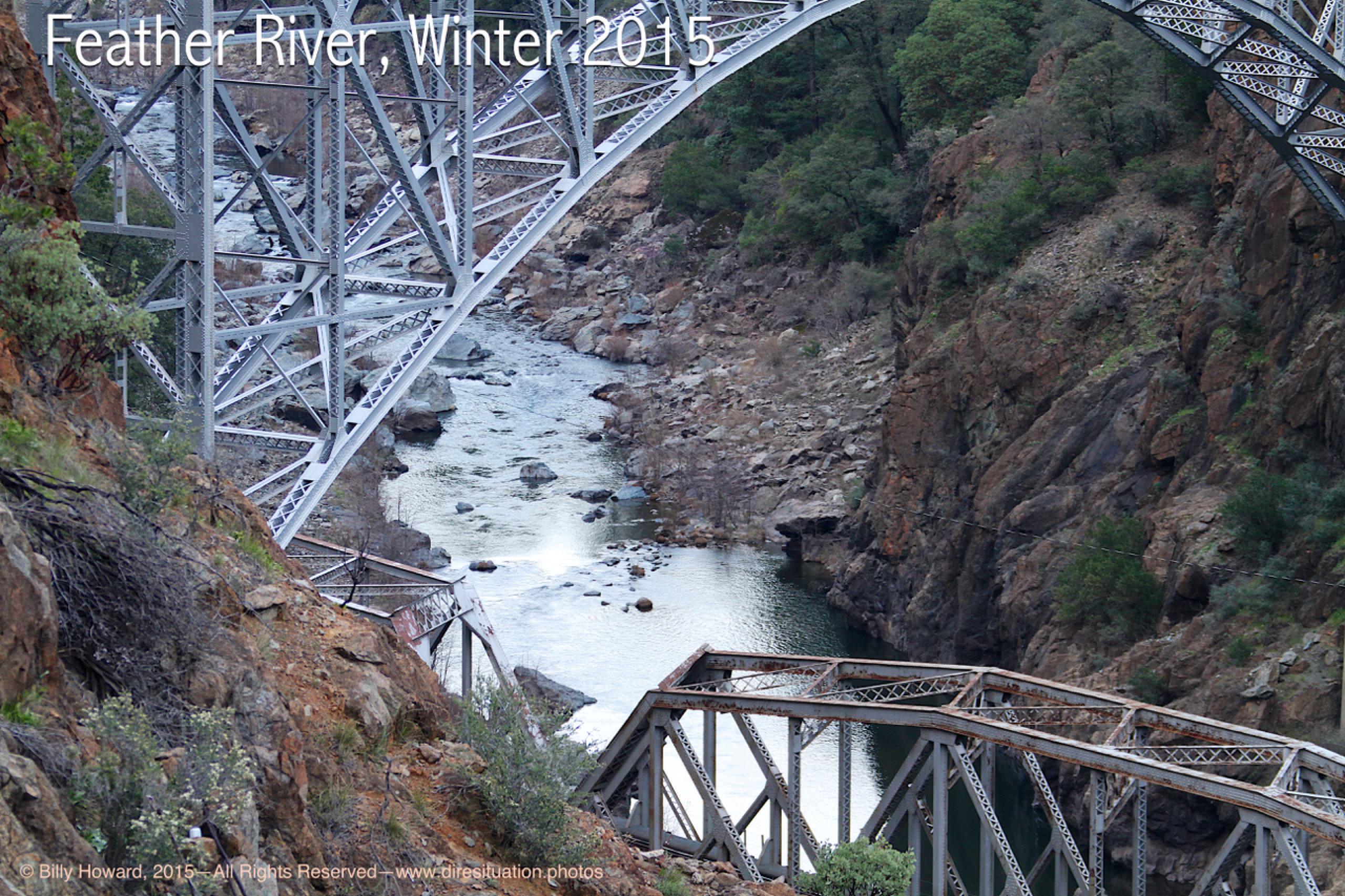
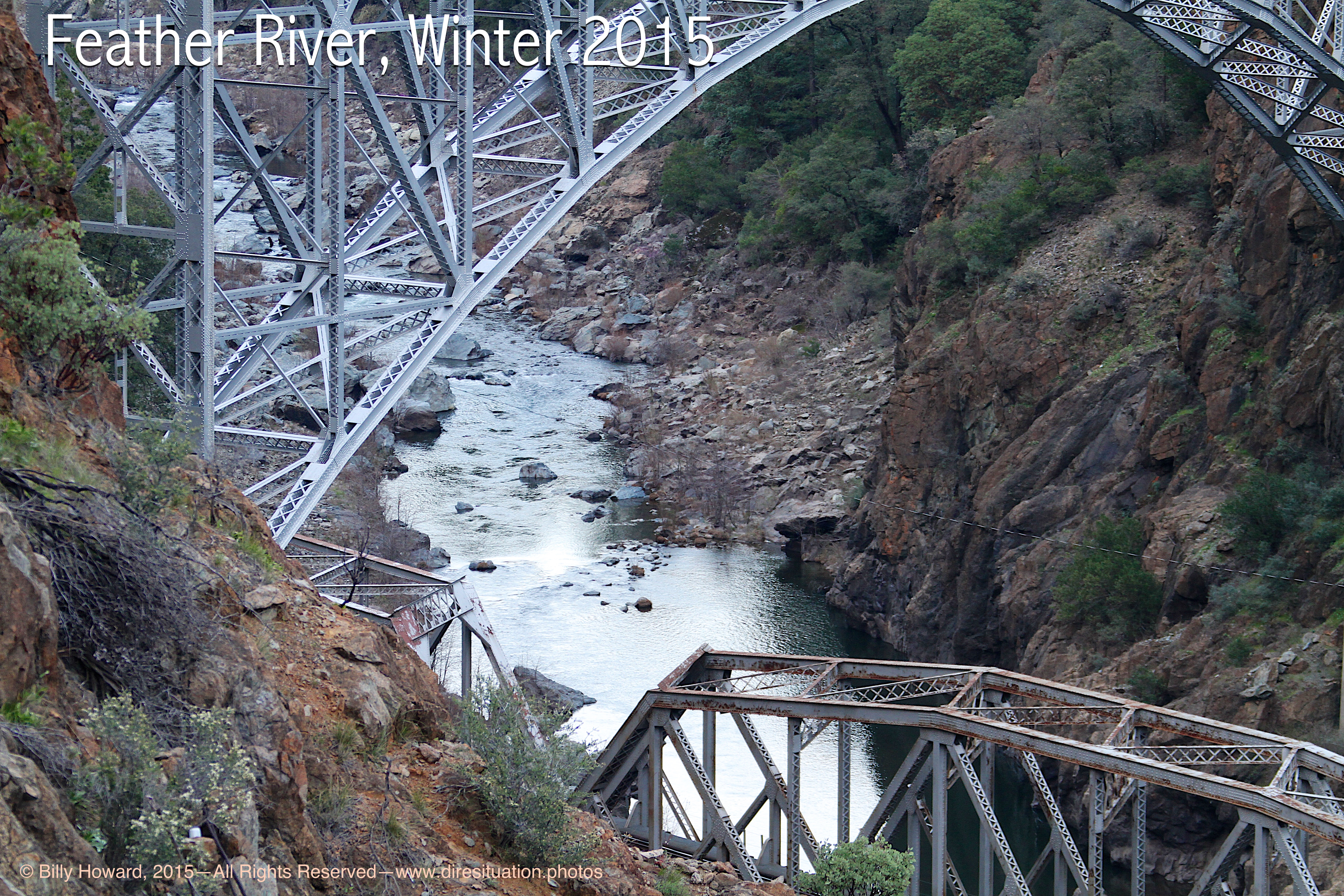
Feather River at the Pulga Road bridges just south of Poe Dam. Lime-stained boulders, usually underwater, are bleached by exposure.
All content, including images © Billy Howard, 2015. —All Rights Reserved— High resolution versions available upon request to witness@diresituation.photos. Larger.
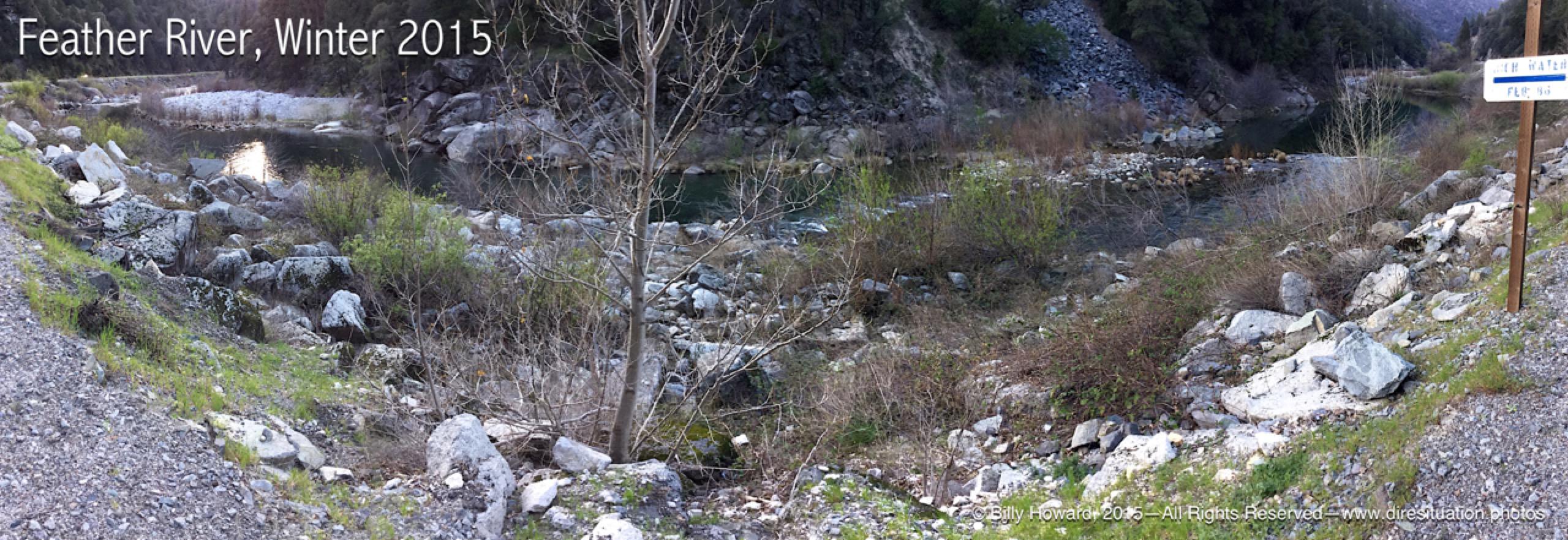
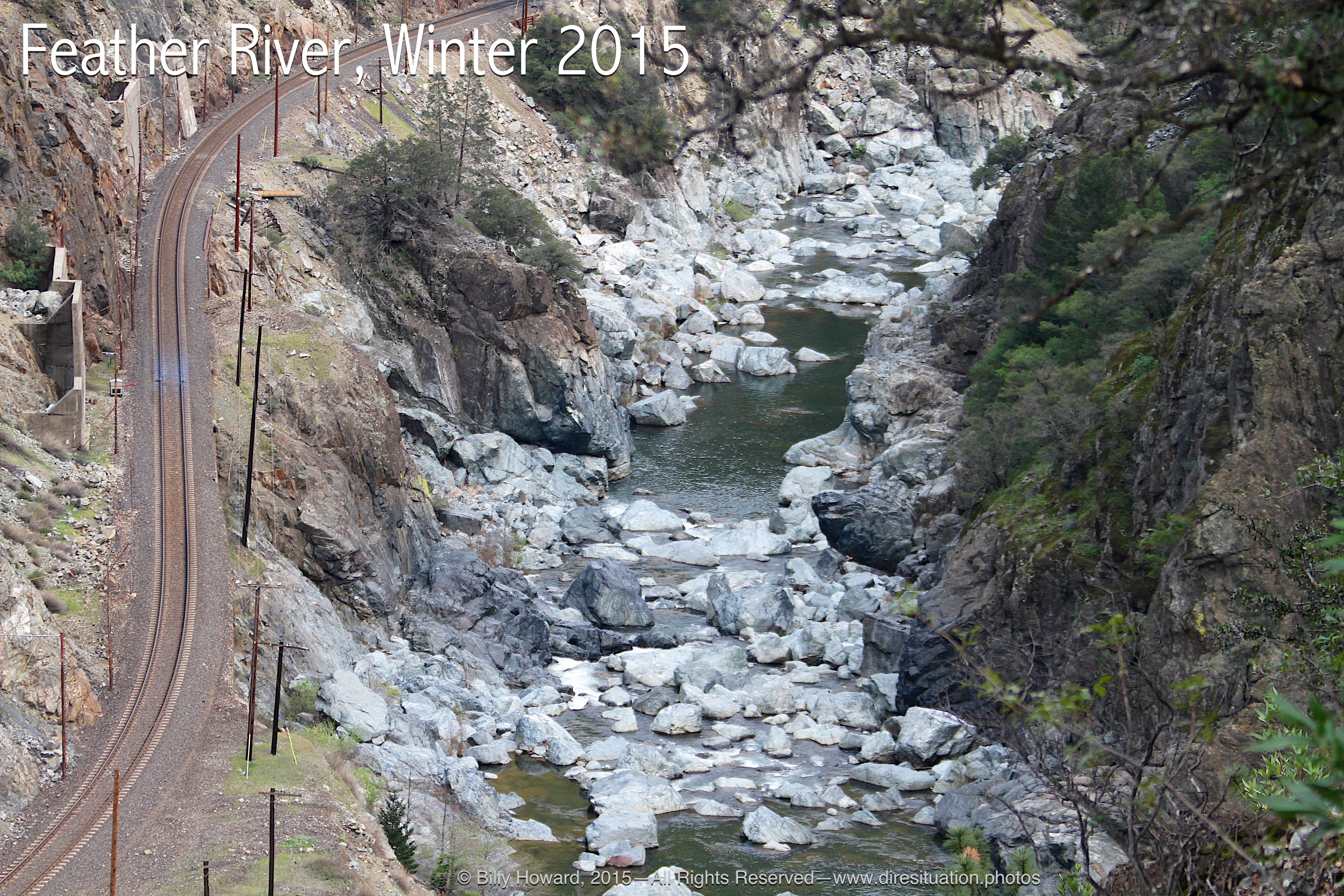
High water mark from 1986 is yards above current level in winter.
All content, including images © Billy Howard, 2015. —All Rights Reserved— High resolution versions available upon request to witness@diresituation.photos. Larger.
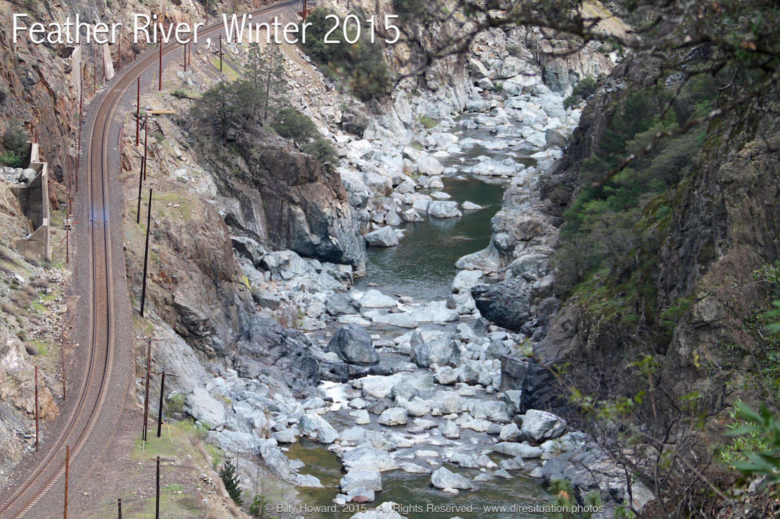
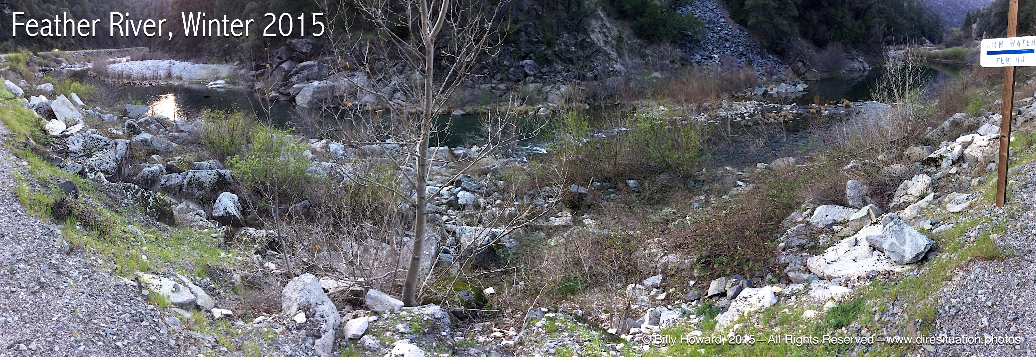
In a turnabout, there are more rocks than river.
|
|
River level far below low point even in winter.
|
|
|
||
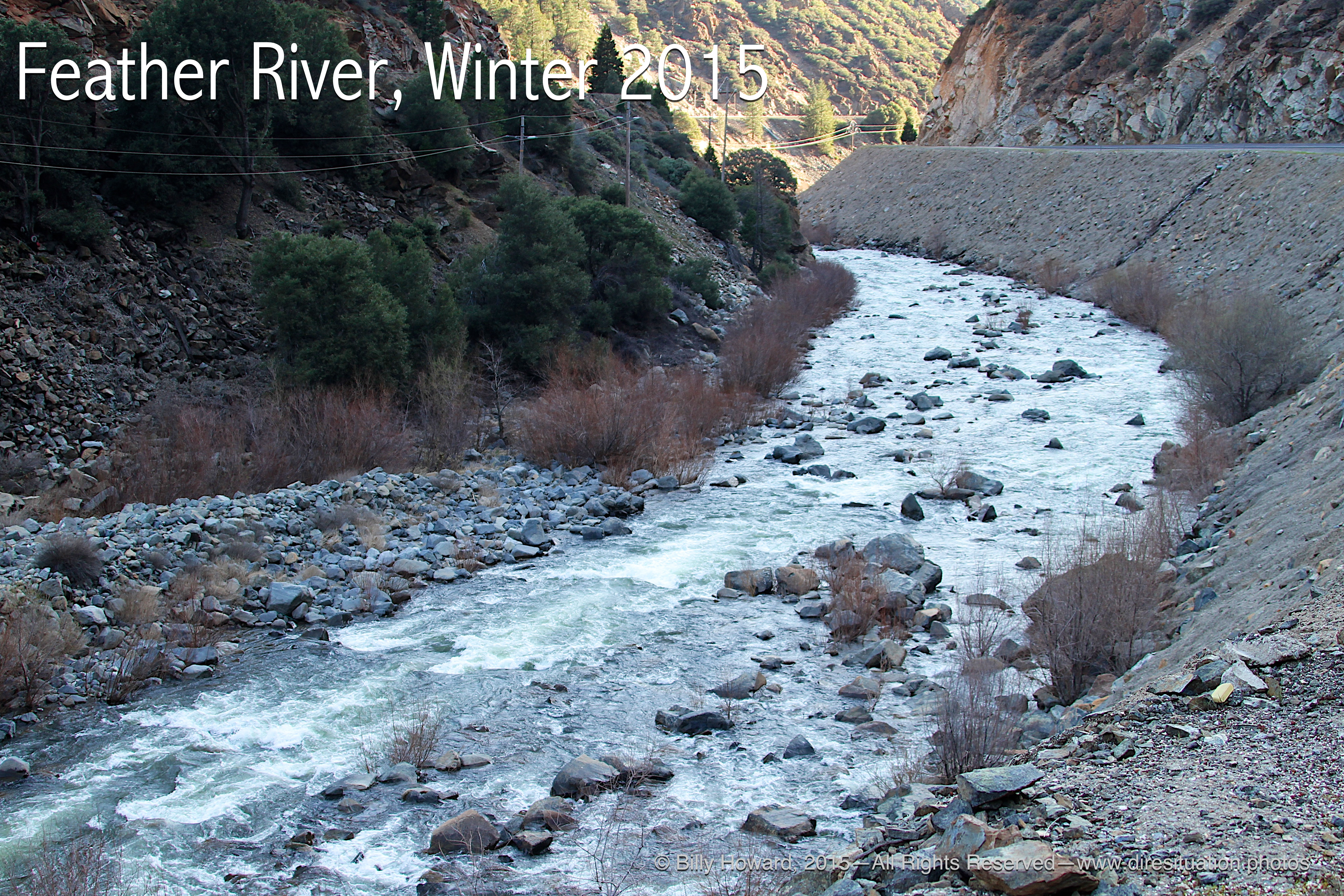
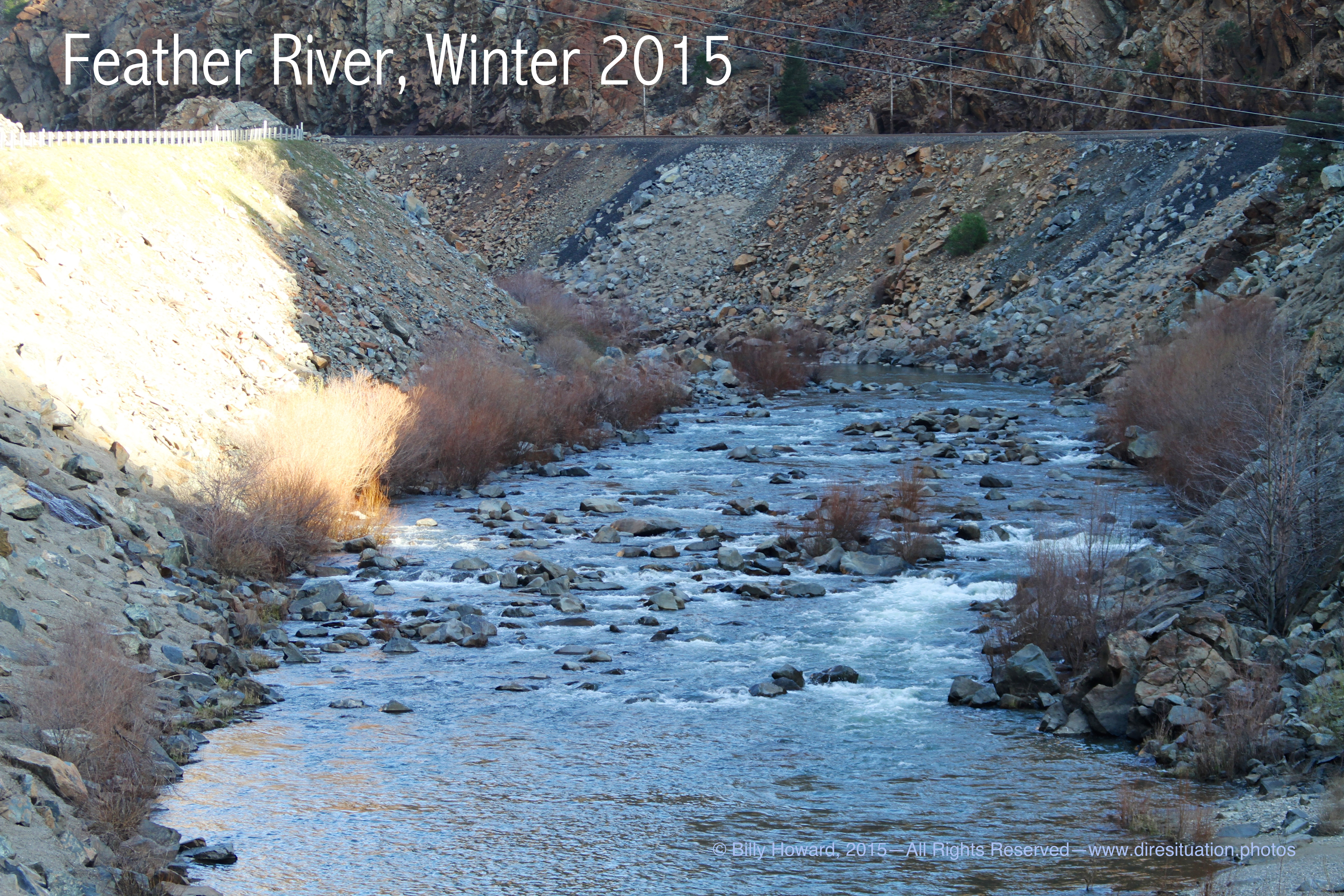
Low channel looking northeast.
|
|
Low channel looking southwest.
|
|
|
||
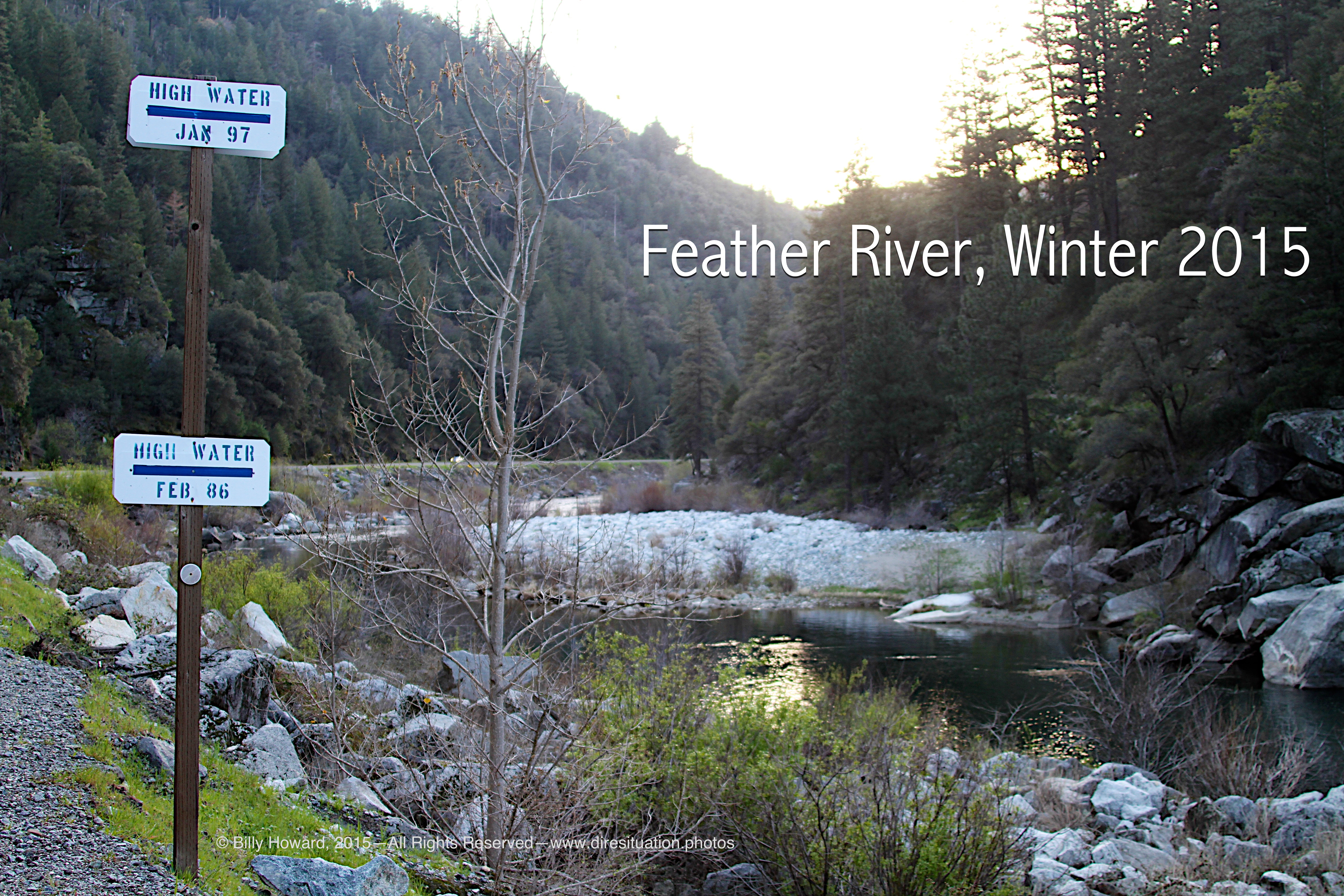
High water marks are yards above current level.
|
|
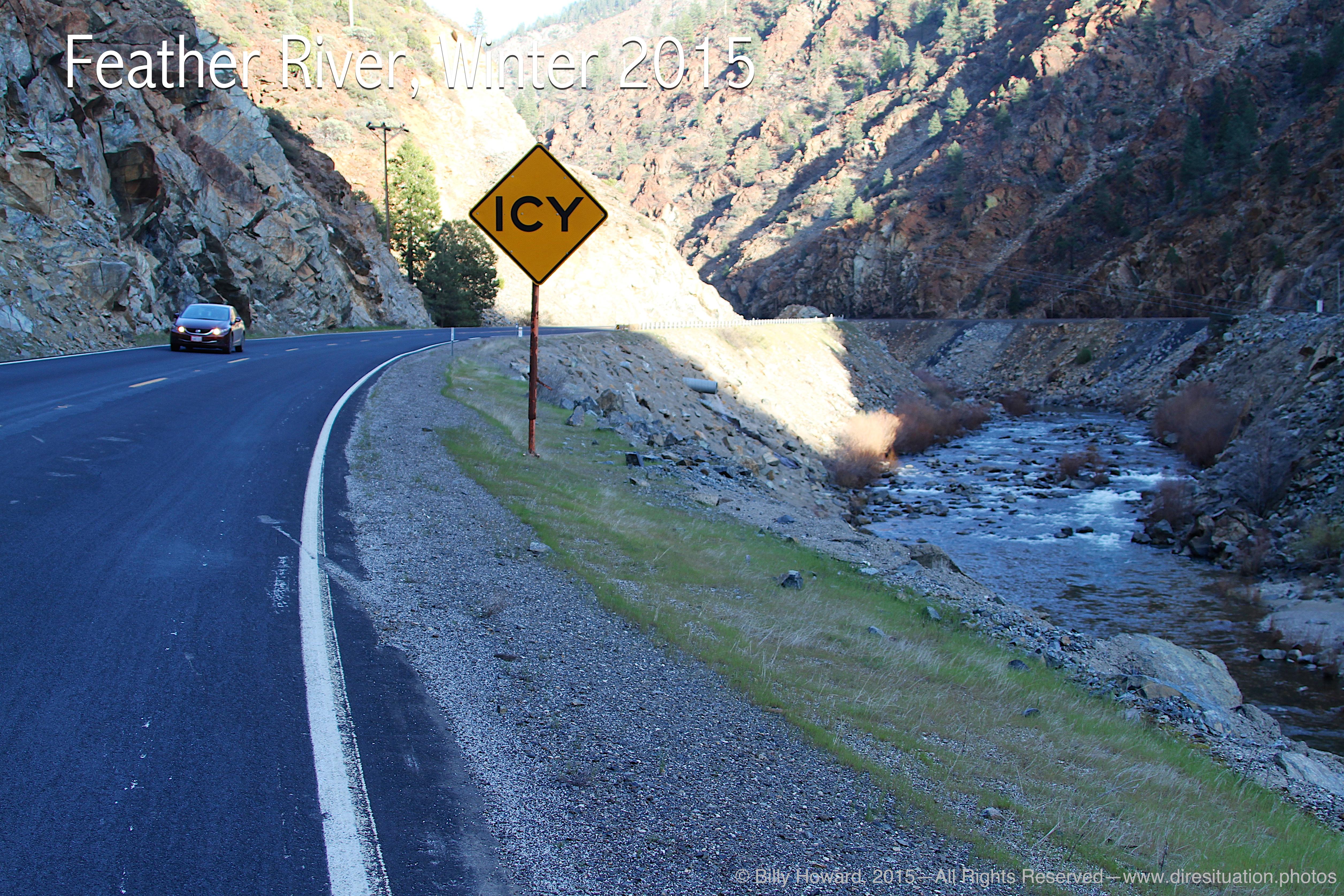
Hwy 70 is far from being icy on this sunny winter day.
|
|
|
||
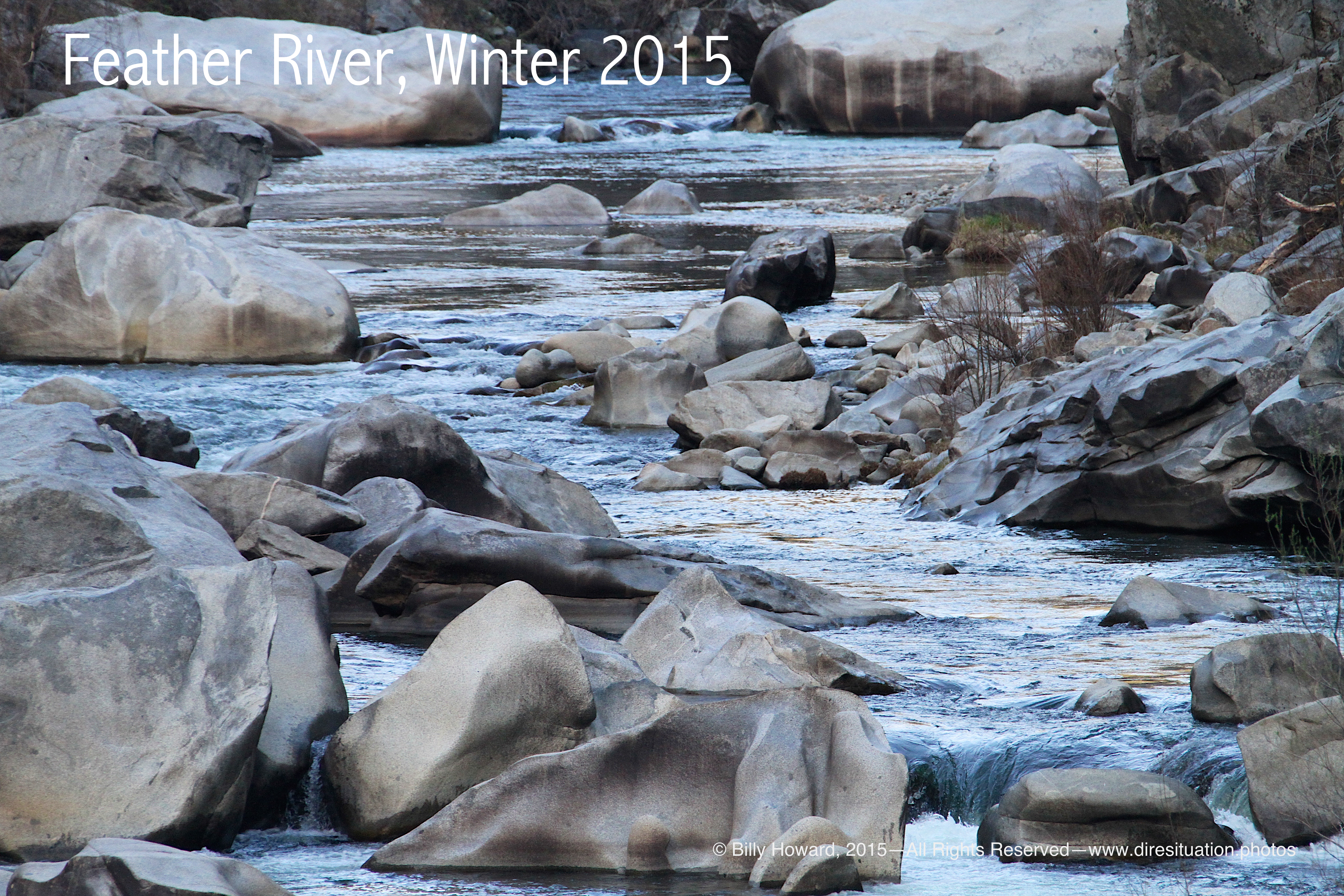
Bare boulders bearing watermarks from higher river level years.
|
|
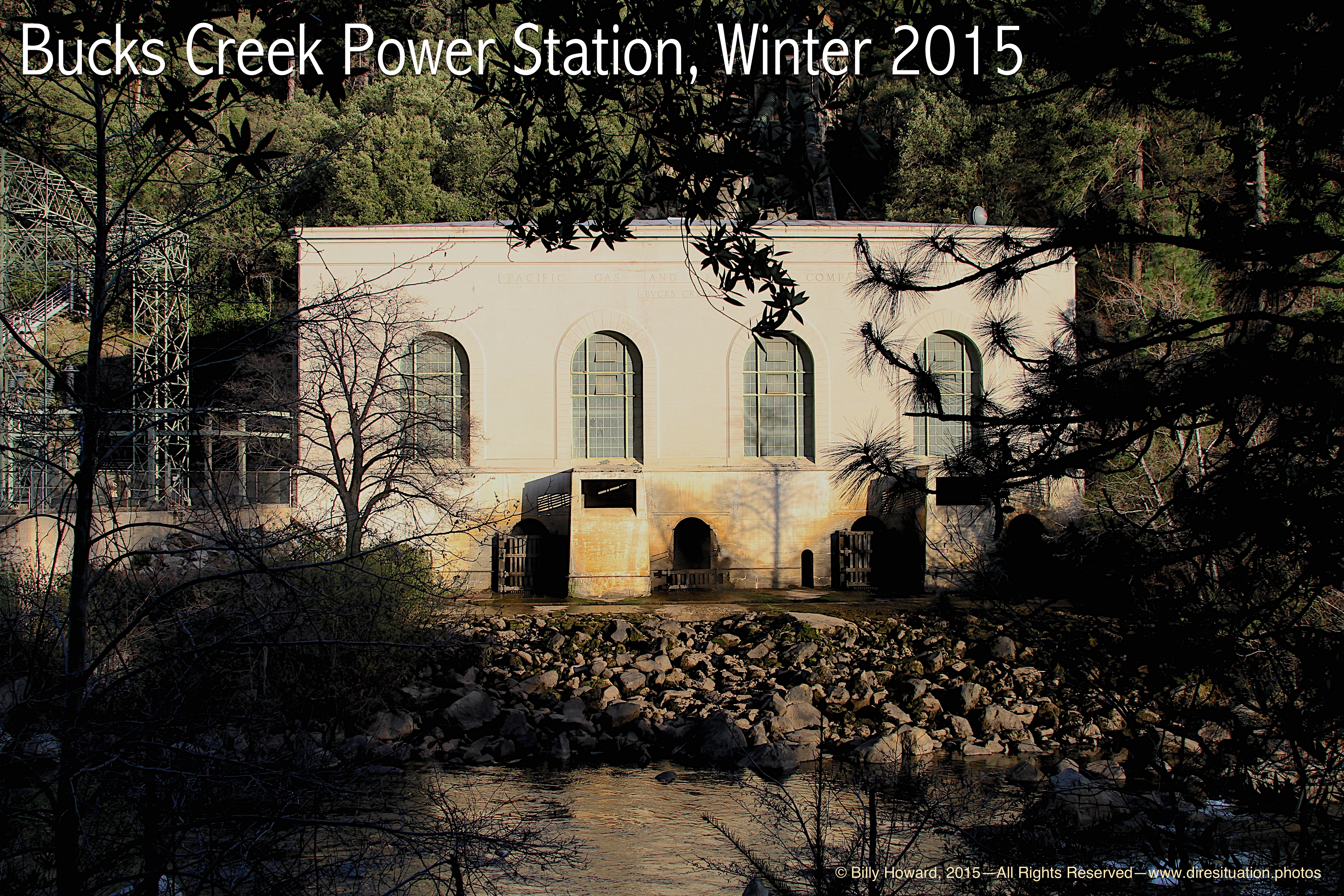
Bucks Creek Powerhouse.
|
All content, including images © Billy Howard, 2015. —All Rights Reserved— High resolution versions available upon request to witness@diresituation.photos. Larger.