| Drought in the West | A Photographic Essay |
Reno/Truckee Meadows
|
Next → |
Interactive Cartograph: Clickable place names, horizontally scrollable.
Bucks Lake: 3.2015
Remote Bucks Lake in the high northern Sierra Nevada (just shy of 1 mile in elevation) is dammed (1928) by Pacific Gas & Electric which creates Lower Bucks Lake and Bucks Diversion with Bucks Creek a tributary of the Feather River which drains into Lake Oroville.
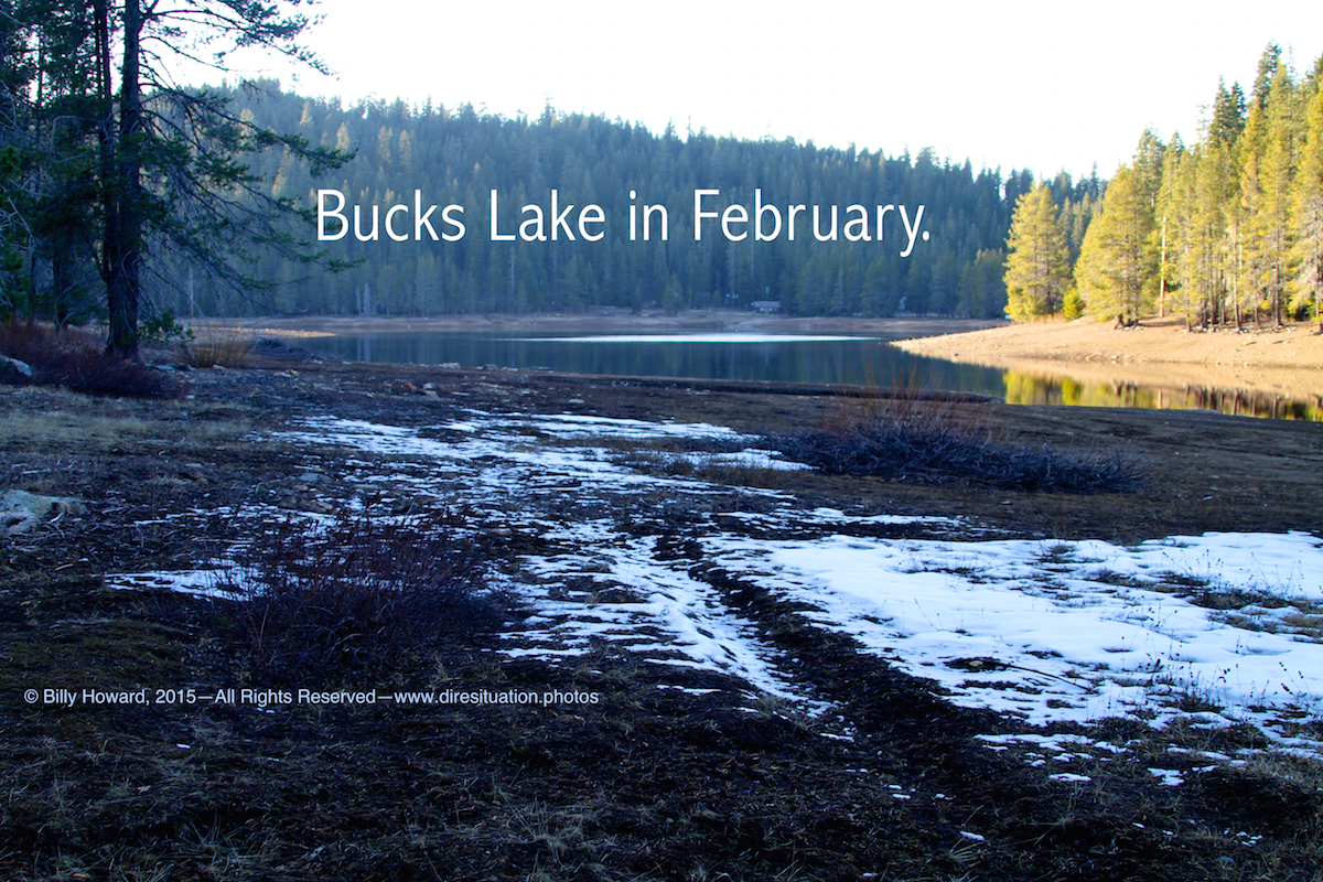
Remote Bucks Lake in the high northern Sierra Nevada (just shy of 1 mile in elevation) is dammed (1928) by Pacific Gas & Electric which creates Lower Bucks Lake and Bucks Diversion with Bucks Creek a tributary of the Feather River which drains into Lake Oroville.

All content, including images © Billy Howard, 2015. —All Rights Reserved— High resolution versions available upon request to witness@diresituation.photos. Larger.
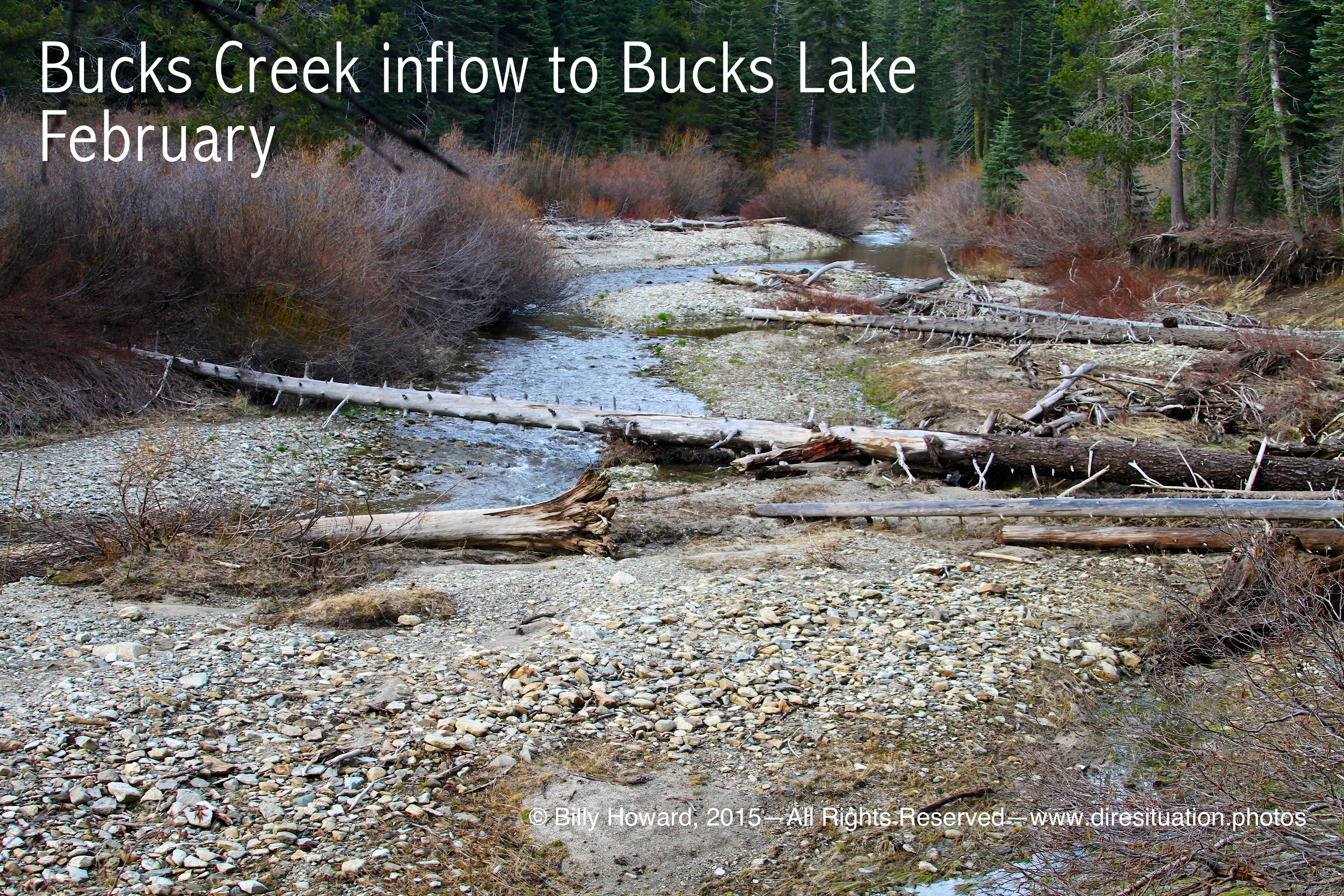
Bucks Creek: Looking upstream before entering Bucks Lake. There is no inflow and scant snow.
|
|
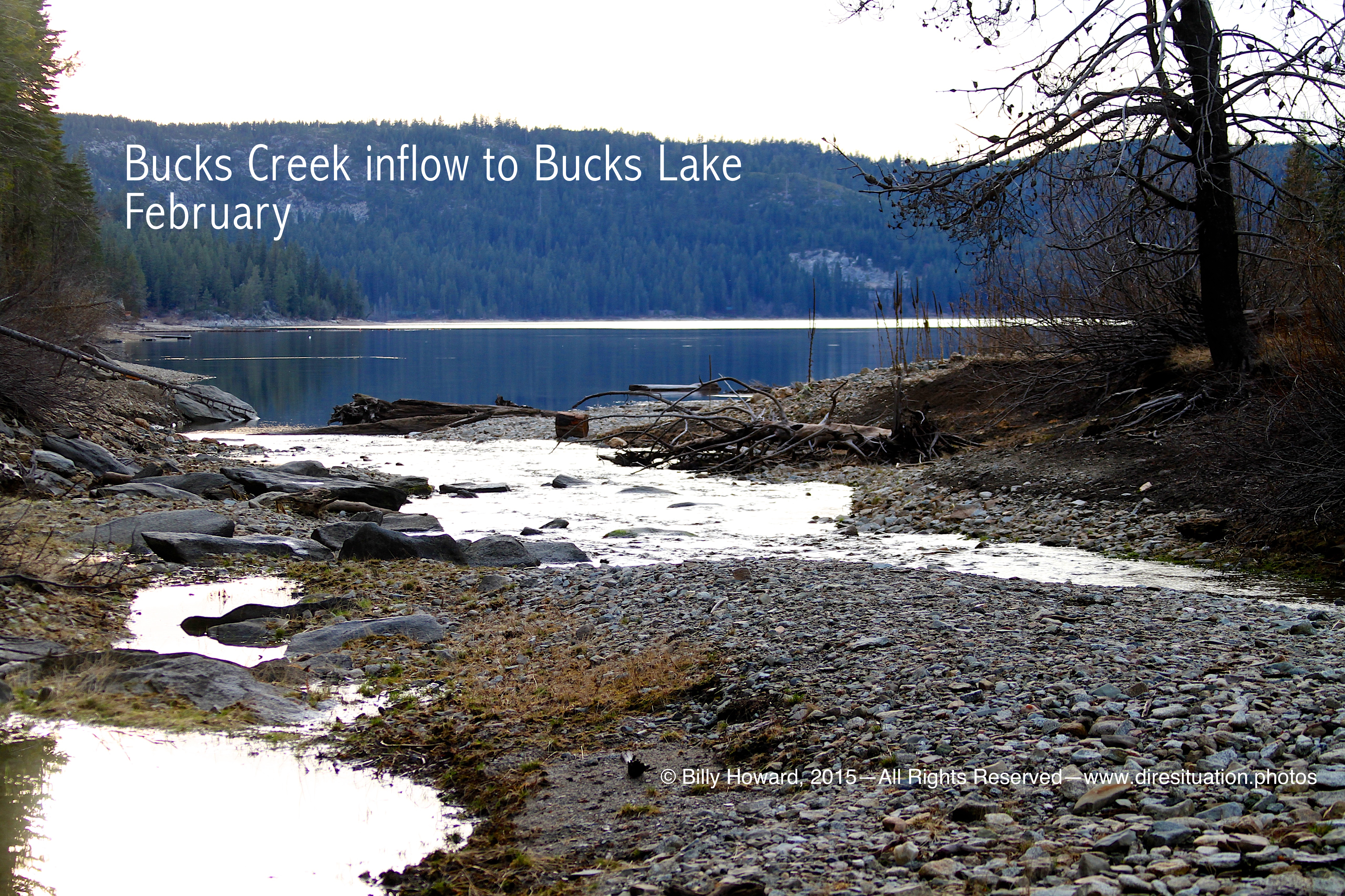
Bucks Creek where it would normally flow into Bucks Lake. The area would normally be carpeted with snow in late Winter.
|
|
|
||
|
Cabins juxtaposed against the receding shoreline even in February.
Snow is not seen in landscape or forest. 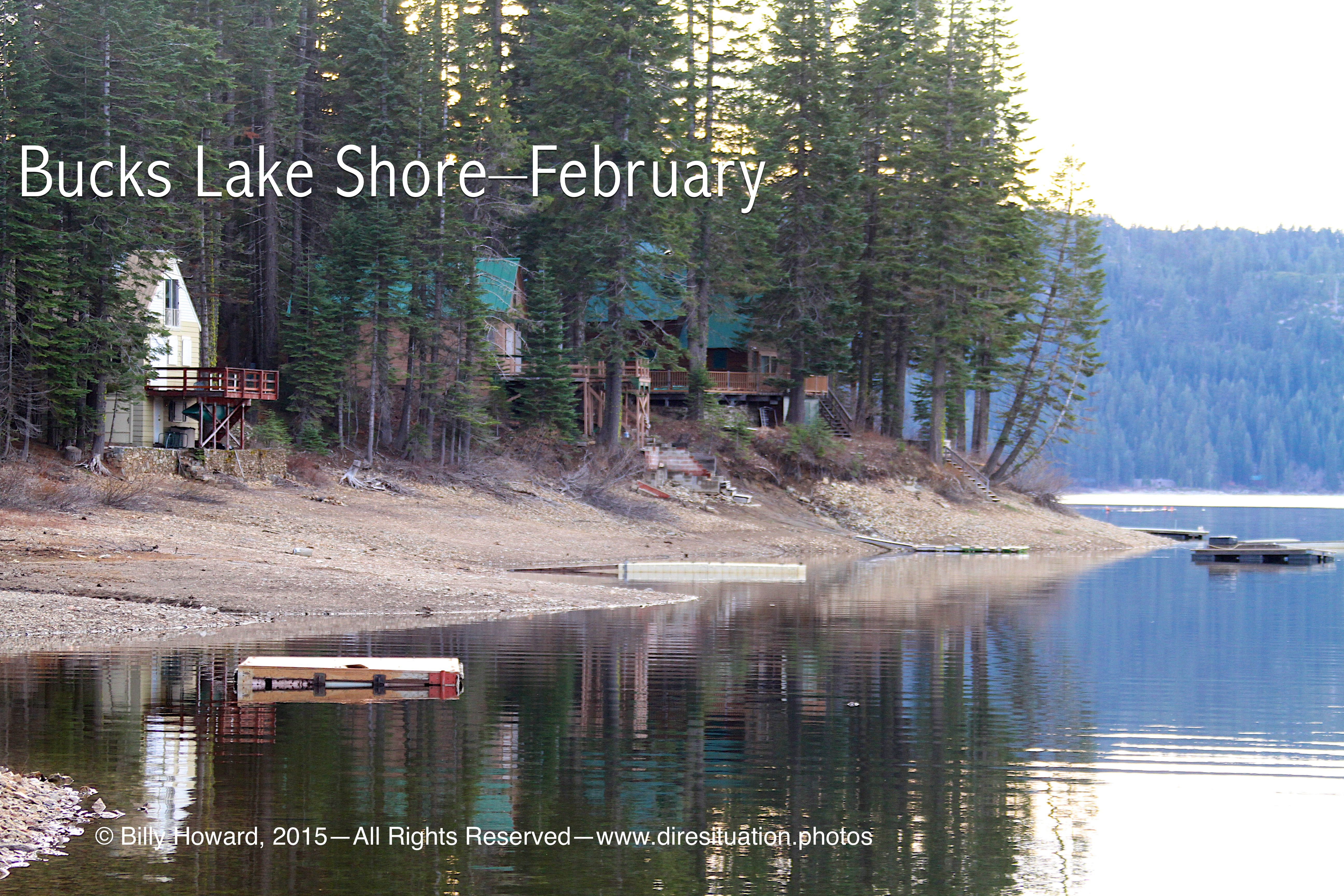
|
|
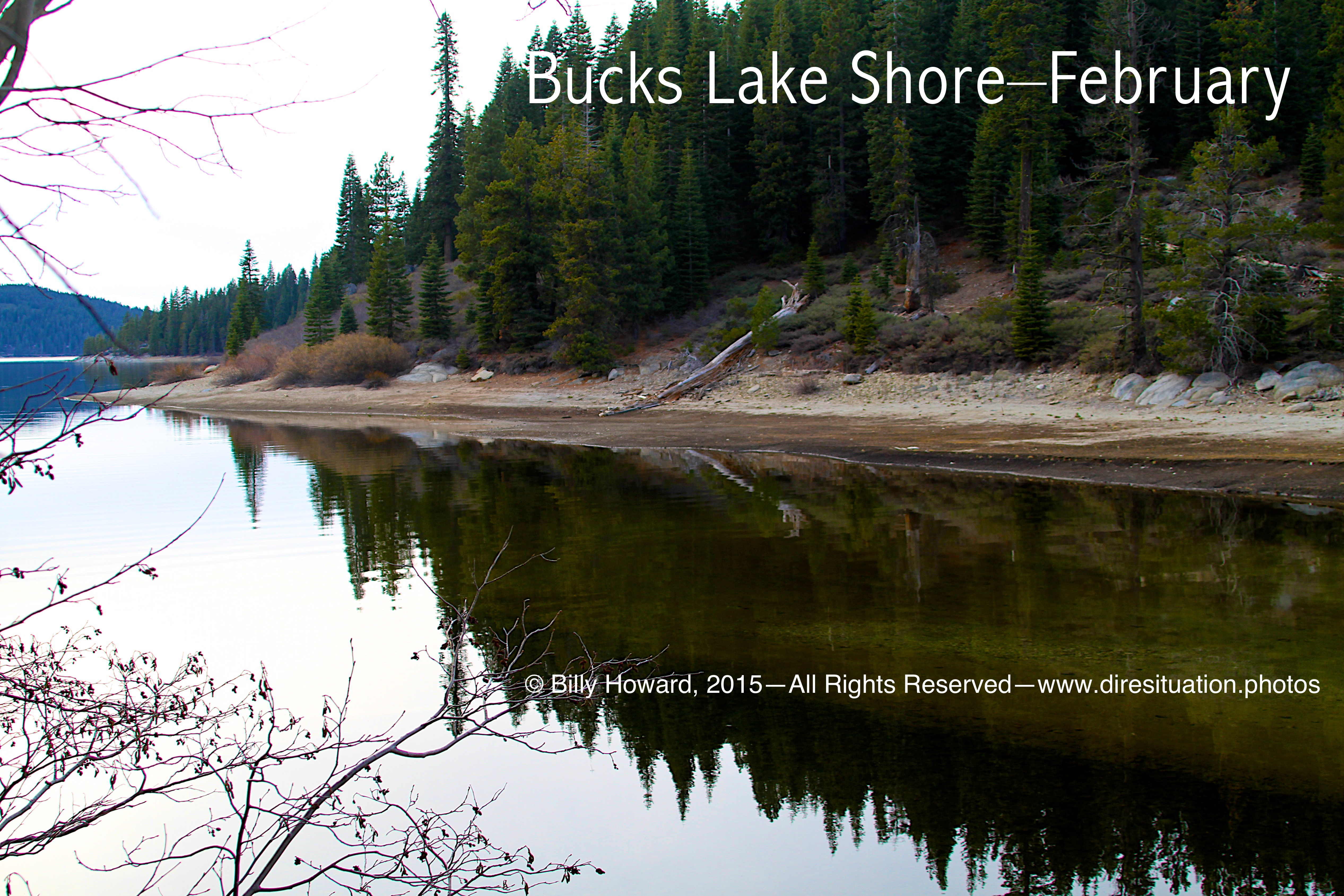
Bucks Lake shore in February. No snow in the mile high elevation or on the surrounding mountains.
|
All content, including images © Billy Howard, 2015. —All Rights Reserved— High resolution versions available upon request to witness@diresituation.photos.